Image:Black Mesa and Lake Powell RR Map.png
From Wikipedia, the free encyclopedia
Size of this preview: 750 × 600 pixels
Full resolution (1,500 × 1,200 pixels, file size: 109 KB, MIME type: image/png)
| | This is a file from the Wikimedia Commons. The description on its description page there is shown below.
|
[edit] Summary
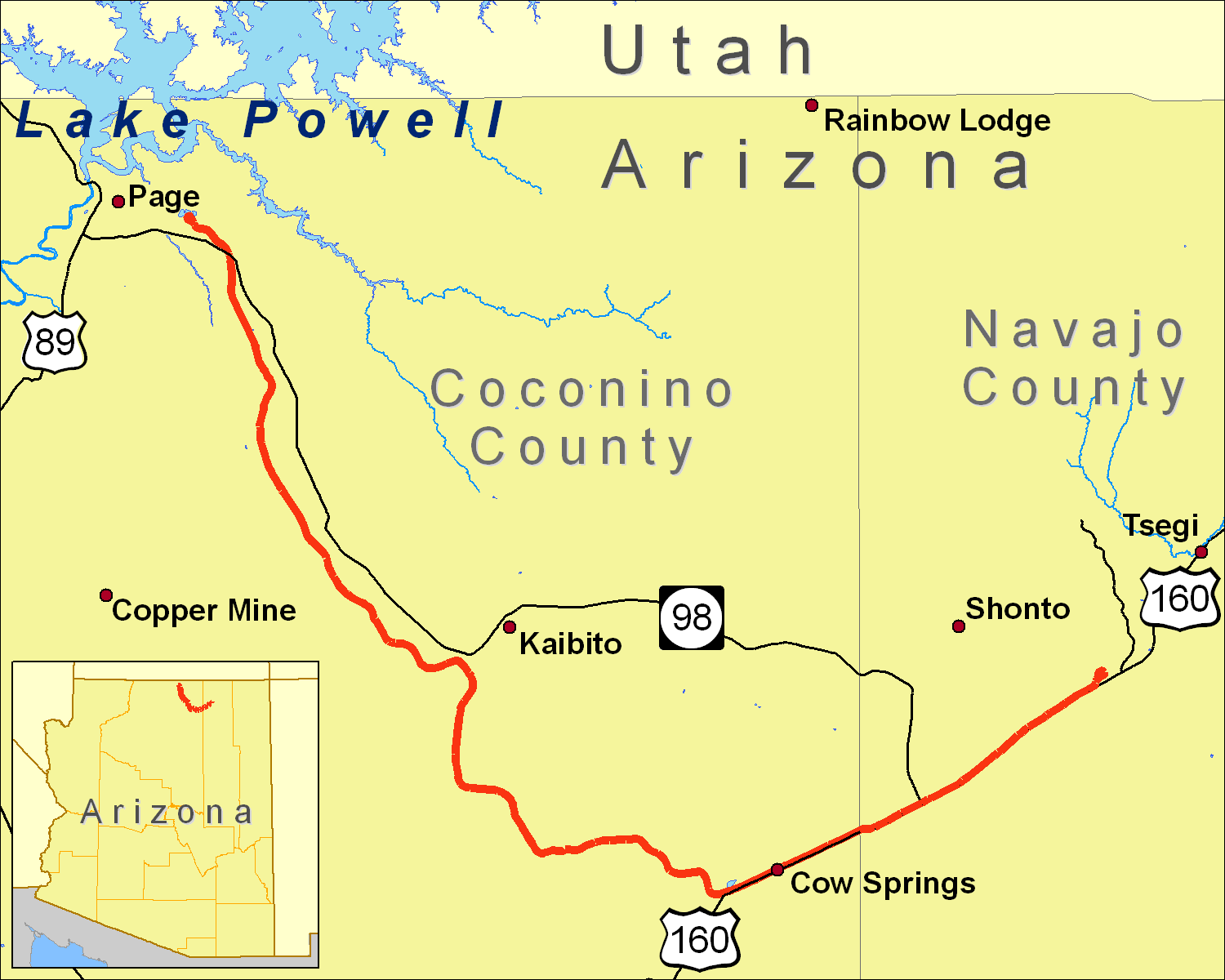
A map of the Black Mesa and Lake Powell Railroad extent, using data from the 2000 US Census TIGER Line file for railroads and roads (obtained from http://sdrsnet.srnr.arizona.edu/) and seamless.usgs.gov data.
I created it using ArcGIS 9.1.
[edit] Licensing
|

File history
Click on a date/time to view the file as it appeared at that time.
| Date/Time | Dimensions | User | Comment | |
|---|---|---|---|---|
| current | 22:27, 18 January 2007 | 1,500×1,200 (109 KB) | Shorelander | (Another new version, with some extra tweaks and a new road.) |
| 00:27, 21 December 2006 | 1,500×1,200 (109 KB) | Shorelander | (New version, changing the size and fixing the spelling.) | |
| 02:00, 19 December 2006 | 2,100×1,496 (218 KB) | Shorelander | (A map of the Black Mesa and Lake Powell Railroad extent, using data from the 2000 US Census TIGER Line file for railroads and roads (obtained from http://sdrsnet.srnr.arizona.edu/) and seamless.usgs.gov data. I created it using ArcGIS 9.1. Shrunk and crop) | |
| 01:37, 19 December 2006 | 6,300×4,500 (388 KB) | Shorelander | (A map of the Black Mesa and Lake Powell Railroad extent, using data from the 2000 US Census TIGER Line file for railroads and roads (obtained from http://sdrsnet.srnr.arizona.edu/) and seamless.usgs.gov data. I created it using ArcGIS 9.1.) |
File links
The following pages on the English Wikipedia link to this file (pages on other projects are not listed):

