Image:Africa-countries-western.png
From Wikipedia, the free encyclopedia
No higher resolution available.
Africa-countries-western.png (360 × 392 pixels, file size: 4 KB, MIME type: image/png)
| | This is a file from the Wikimedia Commons. The description on its description page there is shown below.
|
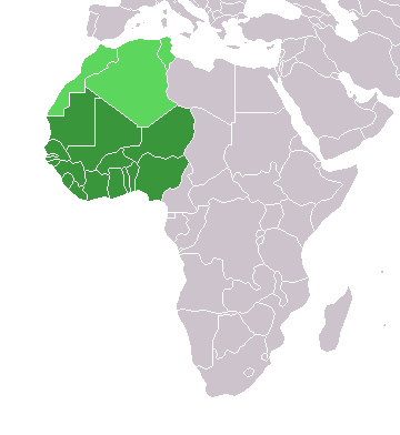
map of countries in Western Africa
Originally uploaded to the English Wikipedia:
- 11:32, 3 Feb 2005 . . Lucidity (13890 bytes) (map of countries in Western Africa)
- 11:12, 3 Feb 2005 . . Lucidity (13885 bytes) ((map of countries in Western Africa))
where it was tagged by Lucidity as GFDL. This map is a modification of Image:BlankMap-World.png.

.
File history
Click on a date/time to view the file as it appeared at that time.
| Date/Time | Dimensions | User | Comment | |
|---|---|---|---|---|
| current | 11:13, 5 May 2006 | 360×392 (4 KB) | Hautala | (optimized with png) |
| 21:01, 2 March 2005 | 360×392 (14 KB) | Atamari | (source en:wiki) |
File links
The following pages on the English Wikipedia link to this file (pages on other projects are not listed):

