Image:NeutralZone1990.jpg
From Wikipedia, the free encyclopedia

No higher resolution available.
NeutralZone1990.jpg (404 × 444 pixel, file size: 70 KB, MIME type: image/jpeg)
| | This is a file from the Wikimedia Commons. The description on its description page there is shown below. |
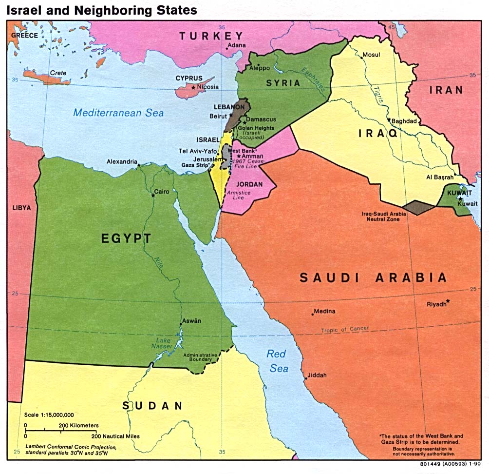
A map showing, Iran, Iraq, Syria, Jordan, Saudi Arabia, Turkey, Kuwait, and the former Iraq - Saudi Arabia Neutral Zone. Map is from http://www.lib.utexas.edu/maps/middle_east_and_asia/israel_nbr90.jpg.
The text below is generated by a template which has been proposed for deletion. Please see its entry on Commons:Deletion requests/Template:PD-PCL for comments and voting.
| This image is a copy of israel_nbr90.jpg, a map from the map collection of the Perry-Castañeda Library (PCL) of the University of Texas at Austin. According to the FAQs it is in the public domain. |
| This image is a work of a Central Intelligence Agency employee, taken or made during the course of the person's official duties. As a Work of the United States Government, all images created or made by the CIA are in the public domain, with the exception of classified information. |
 |
File links
The following pages on the English Wikipedia link to this file (pages on other projects are not listed):
Metadata
This file contains additional information, probably added from the digital camera or scanner used to create or digitize it. If the file has been modified from its original state, some details may not fully reflect the modified image.
| Orientation | Normal |
|---|---|
| Horizontal resolution | 150 dpi |
| Vertical resolution | 150 dpi |

