Image:JapanInlandSeaBridges.PNG
From Wikipedia, the free encyclopedia

No higher resolution available.
JapanInlandSeaBridges.PNG (522 × 280 pixel, file size: 273 KB, MIME type: image/png)
source map cropped, modified with labels, infobox, pointers
In some countries this is not legally possible; if so:
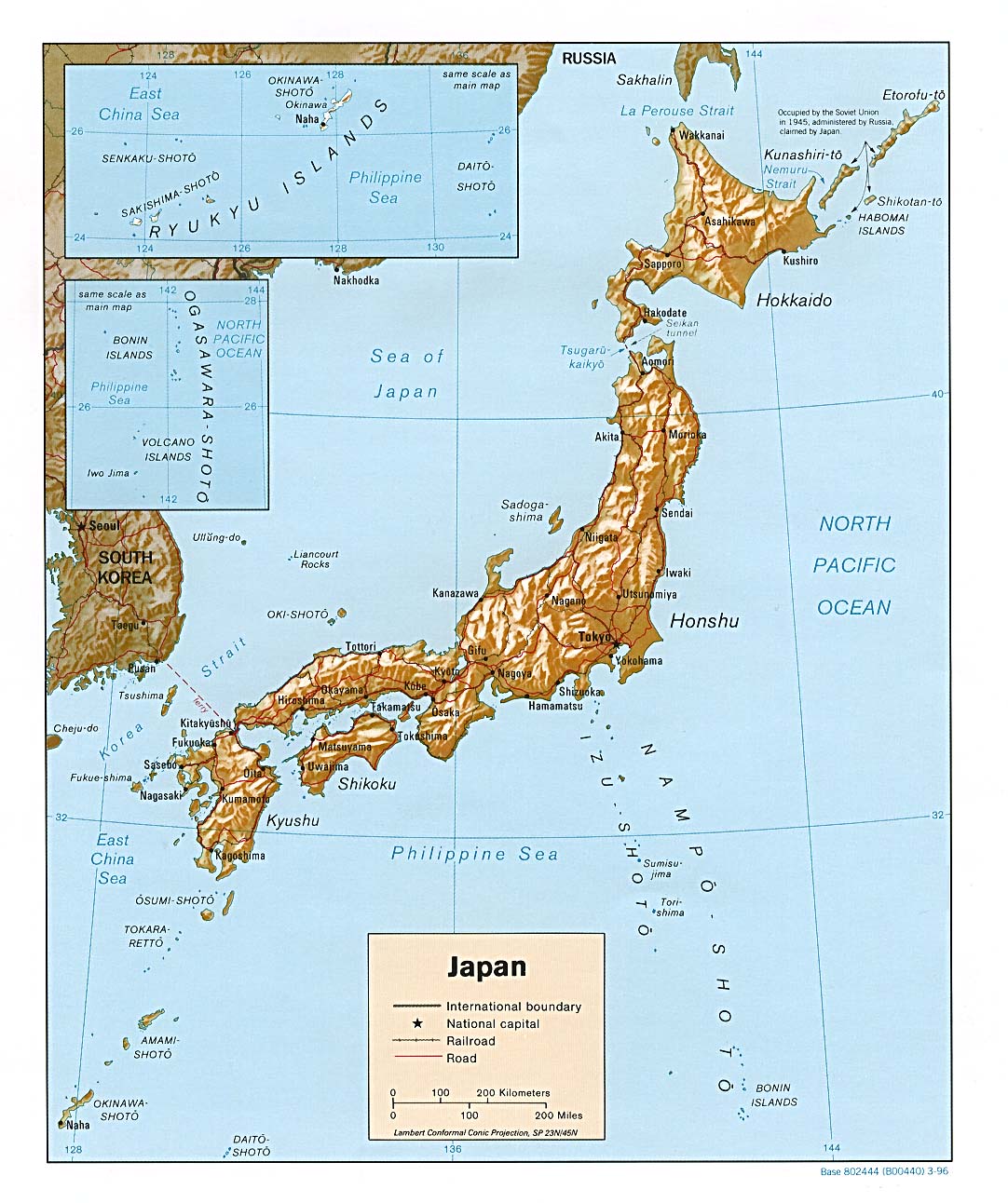
Original map cropped from http://www.lib.utexas.edu/maps/middle_east_and_asia/japan_rel96.jpg
|
|
File history
Legend: (cur) = this is the current file, (del) = delete
this old version, (rev) = revert to this old version.
Click on date to download the file or see the image uploaded on that date.
- (del) (cur) 16:56, 17 September 2006 . . Jauntymcd (Talk | contribs) . . 522×280 (279,456 bytes) (source map cropped, modified with labels, infobox, pointers {{PD-retouched-user|jauntymcd}} Original map cropped from http://www.lib.utexas.edu/maps/middle_east_and_asia/japan_rel96.jpg {{PD-PCL}} )
- Edit this file using an external application
See the setup instructions for more information.
File links
The following pages on the English Wikipedia link to this file (pages on other projects are not listed):

