Image:British Empire.png
From Wikipedia, the free encyclopedia

Size of this preview: 800 × 370 pixel
Image in higher resolution (1357 × 628 pixel, file size: 24 KB, MIME type: image/png)
| | This is a file from the Wikimedia Commons. The description on its description page there is shown below. |
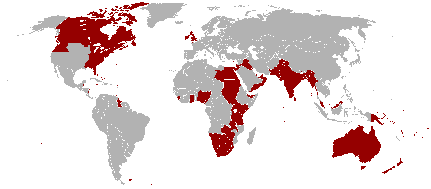
--62.232.17.94 18:59, 21 September 2006 (UTC)== Summary == Territories once under administration from London. Excludes parts of France (not sure what to include), British Antarctic Territories, and many small Pacific and Indian Ocean islands. See also a better version (but with many islands missing) at http://en.wikipedia.org/wiki/Image:British_Empire_Anachronous_2.PNG.
[edit] Licensing
| This file is licensed under the Creative Commons Attribution ShareAlike 2.5 License. In short: you are free to share and make derivative works of the file under the conditions that you appropriately attribute it, and that you distribute it only under a license identical to this one. Official license |
This map is shown in the traditional colour PINK
File links
The following pages on the English Wikipedia link to this file (pages on other projects are not listed):

