From Wikipedia, the free encyclopedia

- I, SPUI, the creator of this image, hereby release it into the public domain. If that cannot be done for any reason, including the nonexistence of a way to release a work into the public domain, I release it (or my changes in the case of a derivative work) under the following license:
 |
This image is copyrighted. The copyright holder has irrevocably released all rights to it, allowing it to be freely reproduced, distributed, transmitted, used, modified, built upon, or otherwise exploited in any way by anyone for any purpose, commercial or non-commercial, with or without attribution of the author. |
|
Simplified version exists at Image:Amtrak California simplified map.svg.
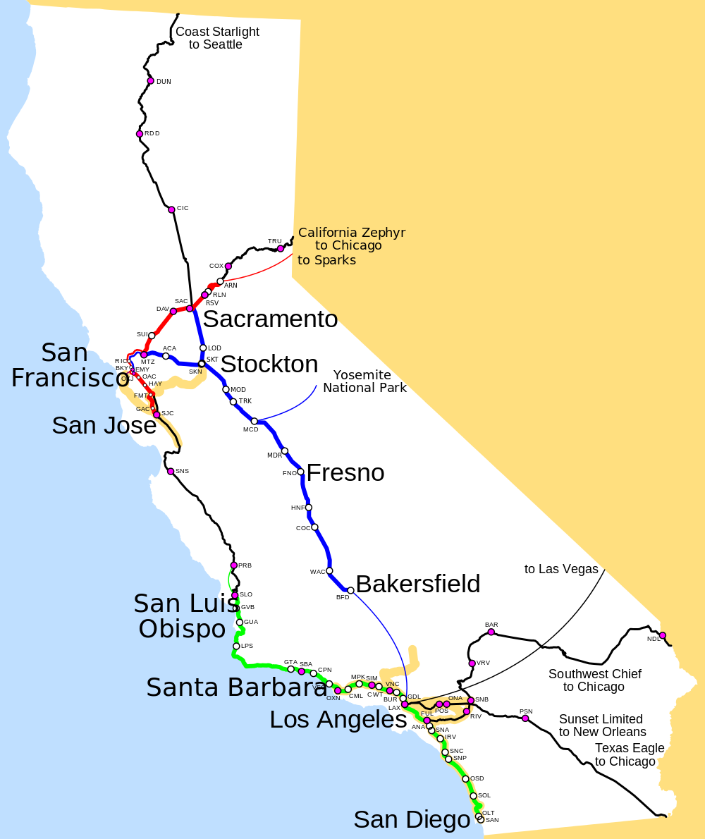
Map of Amtrak routes in California, highlighting the Amtrak California services:
Other Amtrak routes (daily or less) are in black. Stations served by those trains have a purple center. Thin lines are Thruway Motorcoach bus connections. Thick orangish lines are commuter rail (Altamont Commuter Express, Caltrain, Metrolink and San Diego Coaster).

File links
The following pages on the English Wikipedia link to this file (pages on other projects are not listed):


