Image:Carolinacolony.png
From Wikipedia, the free encyclopedia

Carolinacolony.png (96KB, MIME type: image/png)
| | This is a file from the Wikimedia Commons. The description on its description page there is shown below. |
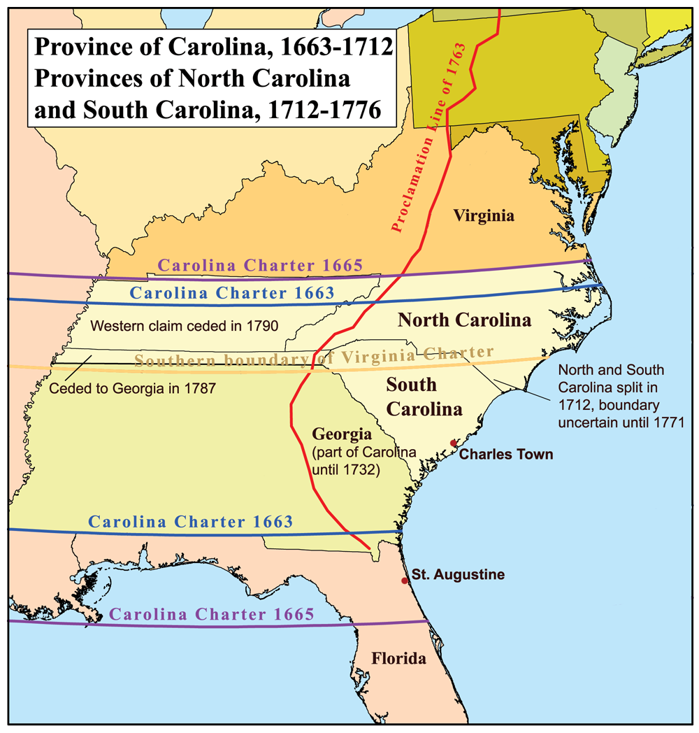
This is a map of the Province of Carolina that I made. Boundary disputes between colonies not involving Carolina are not shown.
[edit] Licensing
|
File links
The following pages on the English Wikipedia link to this file (pages on other projects are not listed):

